
Hard Rock Trail
- Trail System: Alsea Falls Recreation Area
- Trailhead(s): Stellar Jay/Hard Rock Trailhead (Get Directions), Alsea Falls/South Fork Mile Trailhead (Get Directions), Alsea Falls Trailhead (Get Directions), Green Peak Falls/South Fork Mile Trailhead (Get Directions), Green Peak Falls Trailhead (Get Directions), 14-6-9 and 14-7-36 Trailhead (Get Directions), South Fork Mile Trailhead (Get Directions), Stellar Jay/Hard Rock Trailhead (Get Directions), Alsea Falls/South Fork Mile Trailhead (Get Directions), Alsea Falls Trailhead (Get Directions), Green Peak Falls/South Fork Mile Trailhead (Get Directions), Green Peak Falls Trailhead (Get Directions), 14-6-9 and 14-7-36 Trailhead (Get Directions), South Fork Mile Trailhead (Get Directions)
- Season: Trails open year-round, campground and picnic areas seasonal.
- Hours: Dawn-dusk (camping with permit allowed)
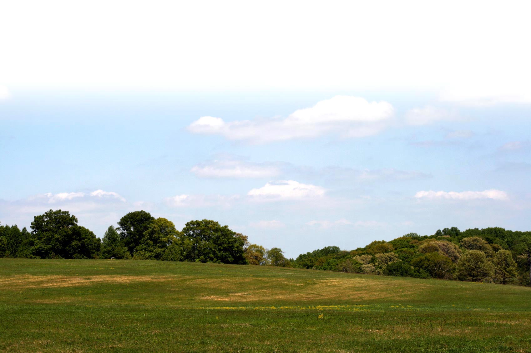
Beautiful waterfalls characterize the Alsea Falls Recreation area. Visitors can hike or mountain bike on many miles of trails through second growth forests. The site also features a picnic area and campground (fees apply).
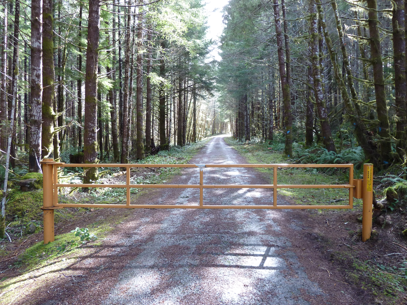
The longest trail in the mountain bike network and with nearly 1000 feet of elevation gain, the Hard Rock Trail follows the gated, mostly paved 14-7-25 road along Fall Creek, climbing to a ridgetop junction with the gravel Billy Buster Trail. Combine it with the Coyote Canyon/Bailout and Steller Jay trails to return to the trailhead, or take the Switchback trail to the 14-6-9 road and return along the South Fork highway. For the longest possible loop, follow the Hard Rock and Billy Buster trails to the 14-6-9 road, then continue along the Bike Connector 2 route to the South Fork Mile Trail. Follow the South Fork Mile to the second bridge at the recreation area, then return along the South Fork highway and 14-7-25 road to your starting point.
Trail description by: The Bureau of Land Management