
East Ridge-Marys Peak
- Trail System: Marys Peak
- Trailhead(s): Woods Creek Trailhead (Get Directions), North Ridge Trailhead (Get Directions), Meadow Edge Trailhead (Get Directions), Conners Camp Trailhead (Get Directions), Woods Creek Trailhead (Get Directions), North Ridge Trailhead (Get Directions), Meadow Edge Trailhead (Get Directions), Conners Camp Trailhead (Get Directions)
- Season: Open year-round, access permitting. East Ridge, North Ridge and Tie trails closed to bicycles Oct. 15-May 15
- Hours: 24 hours
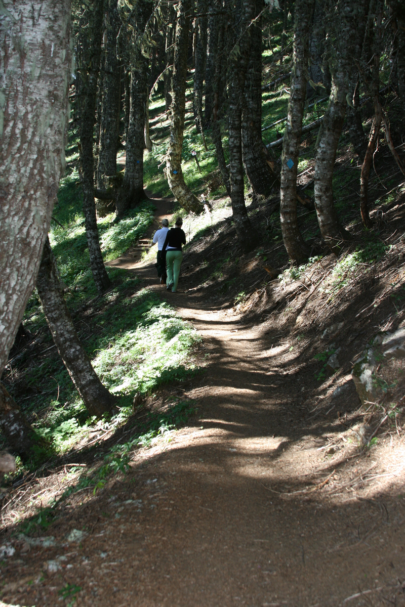
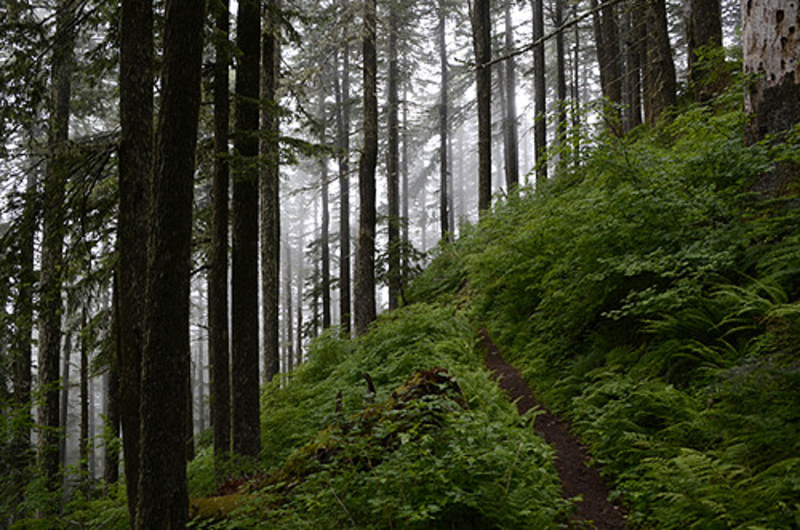
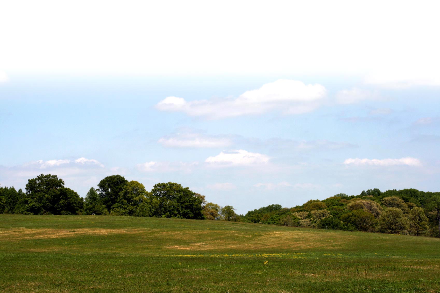
At an elevation of 4,097 feet, Marys Peak is an iconic landmark for Willamette Valley residents, and is the highest point in the Coast Range. In recognition of its unique scenic, botanical and recreational values, Marys Peak is designated as a Scenic Botanical Area. A network of five interconnecting trails, managed by the Siuslaw National Forest, invite hikers to explore old-growth Douglas-fir and high-elevation noble fir forests, panoramic views from meadows extending to volcanic Cascade peaks and the Oregon Coast, and unique wildflower-carpeted rock gardens.
From easier loop hikes to cardio uphill climbs, there's something for every level of fitness and interest at Marys Peak. Marys Peak Road, (FS Road 30) is not maintained for winter travel. When snow conditions are right, visitors to Marys Peak can strap on backcountry skis or snowshoes to explore a winter wonderland.
Parking areas are not plowed and parked vehicles must not obstruct the roadway. Restrooms and picnic tables can be found at Conner's Camp trailhead access (Milepost. 5.5), Marys Peak Campground (Milepost. 8.8), and at the Observation Point parking area located at the end of the road (Milepost 9.3). A Recreation Pass is required.
The East Ridge Trail leads hikers and bicyclists through Douglas and noble fir forests on the eastern flank of Marys Peak. The trail gradually climbs about a mile from the Conner's Camp trailhead access to the junction with the Tie Trail. From here, sweeping switch backs continue through rocky outcrops and sylvan forest to the east side of Marys Peak. For a more energetic outing, continue on the Tie Trail - a short connector between the North Ridge and the East Ridge Trails - for 1.2 miles to the North Ridge Trail. Veer left at the trail junction with the Tie Trail for about .60 miles to the Observation Point parking area.
At an elevation of 4,097 feet, Marys Peak is an iconic landmark for Willamette Valley residents, and is the highest point in the Coast Range. In recognition of its unique scenic, botanical and recreational values, Marys Peak is designated as a Scenic Botanical Area. A network of five interconnecting trails, managed by the Siuslaw National Forest, invite hikers to explore old-growth Douglas-fir and high-elevation noble fir forests, panoramic views from grass-bald meadows extending to volcanic Cascade peaks and the Oregon Coast, and unique wildflower-carpeted rock gardens. From easier loop hikes to cardio uphill climbs, there's something for every level of fitness and interest at Marys Peak. Marys Peak Road, (FS Road 30) is not maintained for winter travel. When snow conditions are right, visitors to Marys Peak can strap on backcountry skis or snowshoes to explore a winter wonderland. Parking areas are not plowed and parked vehicles must not obstruct the roadway. Restrooms and picnic tables can be found at Conner's Camp trailhead access (Milepost. 5.5), Marys Peak Campground (Milepost. 8.8), and at the Observation Point parking area located at the end of the road (Milepost 9.3). A Recreation Pass is required.
Trail description by: Siuslaw National Forest