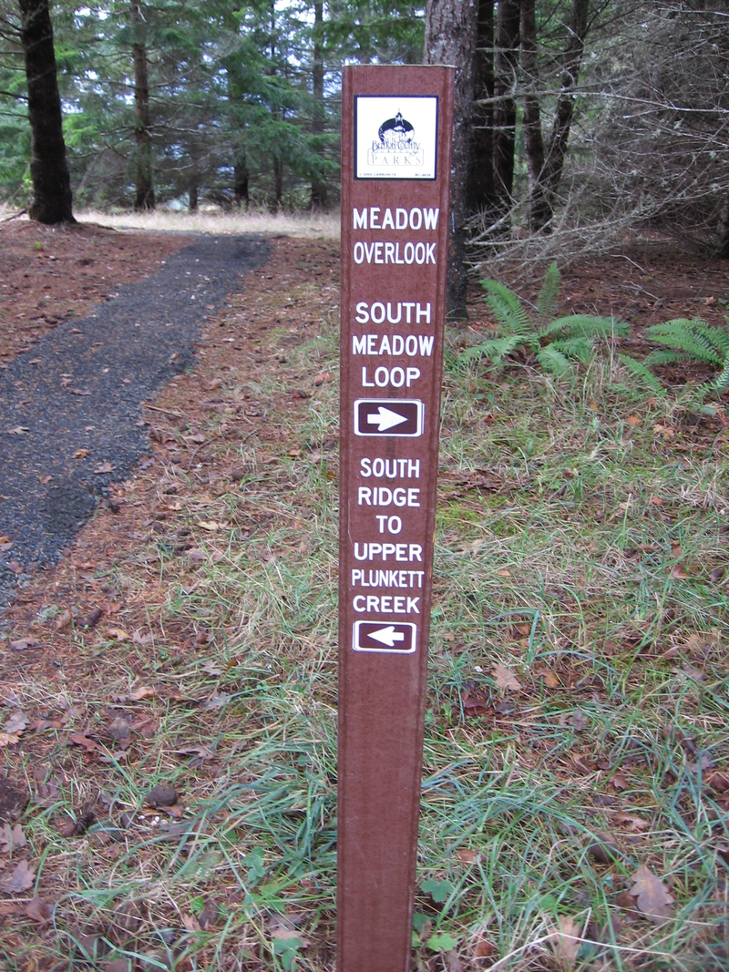

Beazell South Ridge Trail
- Trail System: Beazell Memorial Forest
- Trailhead(s): Beazell South Loop Trail (Get Directions), Beazell South Loop Trail (Get Directions)
- Season: Year round. Plunkett Creek Loop: Horses & Bikes April 15-October 31
- Hours: Daylight
This research forest is characterized by streamside trails and wooded slopes. A reservable historic barn is the site of an environmental education center, while interpretive signage gives information on a historic residence and other structures. Other amenities include trailside gazebos, restrooms and a picnic area.
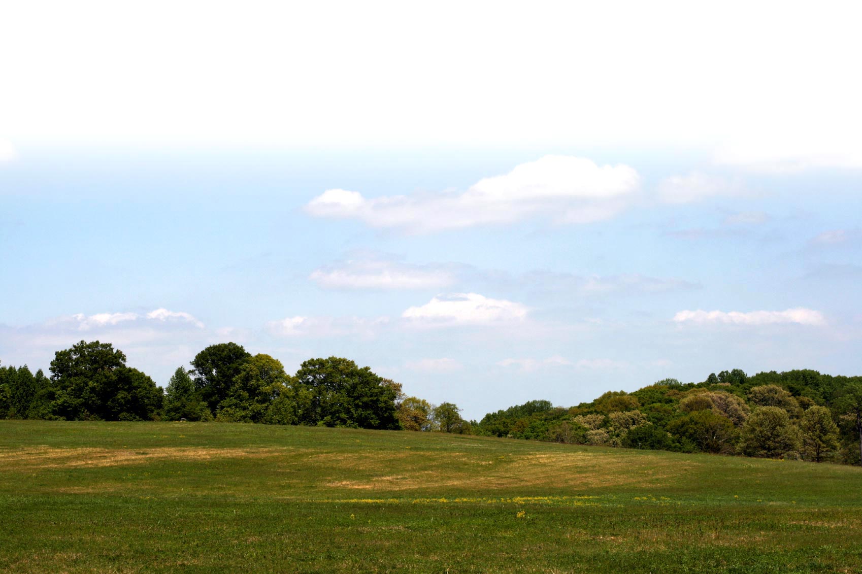
The South Ridge Trail offers a robust hiking opportunity highlighted by a climb to the 1,200 ft. elevation along the ridge bordering the south park boundary. This trail segment can be accessed either by hiking to the end of the Plunkett Creek Trail or by starting at the trail junction across the lawn from the Forest Education Center entrance doors. A variety of pleasant vistas can be experience from this trail, including panoramic views of the Coast Range and Mary's Peak. There are several distinctive Douglas-fir "wolf trees" which can be viewed from the trail up near the ridge.
Trail description by: Benton County Natural Areas & Parks Department