
Beazell Plunkett Creek Loop Trail
- Trail System: Beazell Memorial Forest
- Trailhead(s): Beazell South Loop Trail (Get Directions), Beazell South Loop Trail (Get Directions)
- Season: Year round. Plunkett Creek Loop: Horses & Bikes April 15-October 31
- Hours: Daylight
This research forest is characterized by streamside trails and wooded slopes. A reservable historic barn is the site of an environmental education center, while interpretive signage gives information on a historic residence and other structures. Other amenities include trailside gazebos, restrooms and a picnic area.
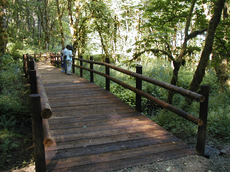
Beazell Memorial Forest has a variety of trails which originate from the park entrance area located just off Hwy 223, the Kings Valley Highway. To access the Plunkett Creek Trail, proceed east past the Forest Education Center to a picturesque bridge over the creek. Turn right and proceed upstream. The Plunkett Creek trail offers a shady, creek side loop hike of about a mile within a healthy and lush watershed. You will proceed over several beautiful bridges as you meander across Plunkett Creek and its minor drainages. Look for the numerous ancient yew trees covered in moss in the understory. The first segment of the trail very gradually slopes up and features an octagonal shaped shelter for rest and observation. This multi-use trail is packed gravel, it is closed to bikes and horses from October 31 to April 15.
Trail description by: Benton County Natural Areas & Parks Department