
Clemens South Loop Trail
Length: 0.28 miles | Elevation Gain: 17.1 feet |
- Trail System: Clemens County Park
- Trailhead(s): Clemens North Fork Interpretive Trail (Get Directions), Clemens North Fork Interpretive Trail (Get Directions), Clemens Seeley Creek Access Trail (Get Directions), Clemens Seeley Creek Access Trail (Get Directions)
- Season: Year-round
- Hours: Daylight
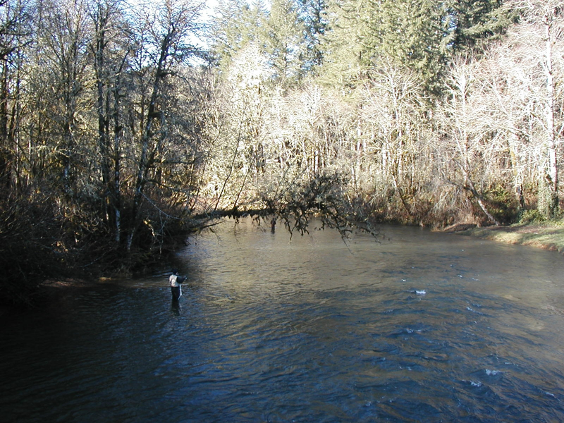
Located on the Alsea River, this park has water access, picnic areas and restroom facilities. Interpretive signage provides information about river ecology along the trail.
This loop trail is located out past the Sealy Creek Bridge crossing in the southernmost part of Clemens Park, The trail has a natural mineral surface and loops through a mature mixed forest. It affords the opportunity for an extended hike downstream within this vibrant riparian corridor.
Trail description by: Benton County Natural Areas & Parks Department