
Clemens Seeley Creek Access Trail
- Trail System: Clemens County Park
- Trailhead(s): Clemens North Fork Interpretive Trail (Get Directions), Clemens North Fork Interpretive Trail (Get Directions), Clemens Seeley Creek Access Trail (Get Directions), Clemens Seeley Creek Access Trail (Get Directions)
- Season: Year-round
- Hours: Daylight
Located on the Alsea River, this park has water access, picnic areas and restroom facilities. Interpretive signage provides information about river ecology along the trail.
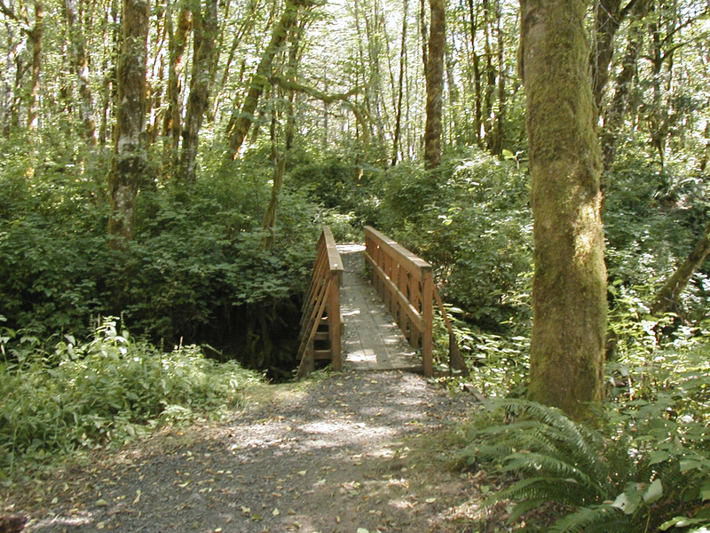
The Seeley Creek Access Trail leads from the parking area trailhead through a mixed forest of both conifers and deciduous tree species. This forest still shows the signs of logging from the 1920's era with several large stumps from ancient trees still showing the notches for the springboard platforms. Loggers stood on these platforms to work their crosscut saws, or "misery whips" back and forth through the massive trees so dominant in this area prior to industrialized logging. The bridge over Seeley Creek offers a picturesque photo opportunity or wildlife watching spot. Once over this bridge, the trail leads to the southernmost portion of the park and connection with the South Loop Trail.
Trail description by: Benton County Natural Areas & Parks Department