
Fort Hoskins Interpretive Loop Trail
- Trail System: Fort Hoskins Historical Park
- Trailhead(s): Fort Hoskins Interpretive Loop Trail (Get Directions), Fort Hoskins Interpretive Loop Trail (Get Directions), Fort Hoskins Recreational Loop Trail (Get Directions), Fort Hoskins Recreational Loop Trail (Get Directions)
- Season: Year-round
- Hours: Daylight
This County park features picnic facilities and two trails: one with interpretive signage describing fort history, the other forming a loop through a woodland setting.
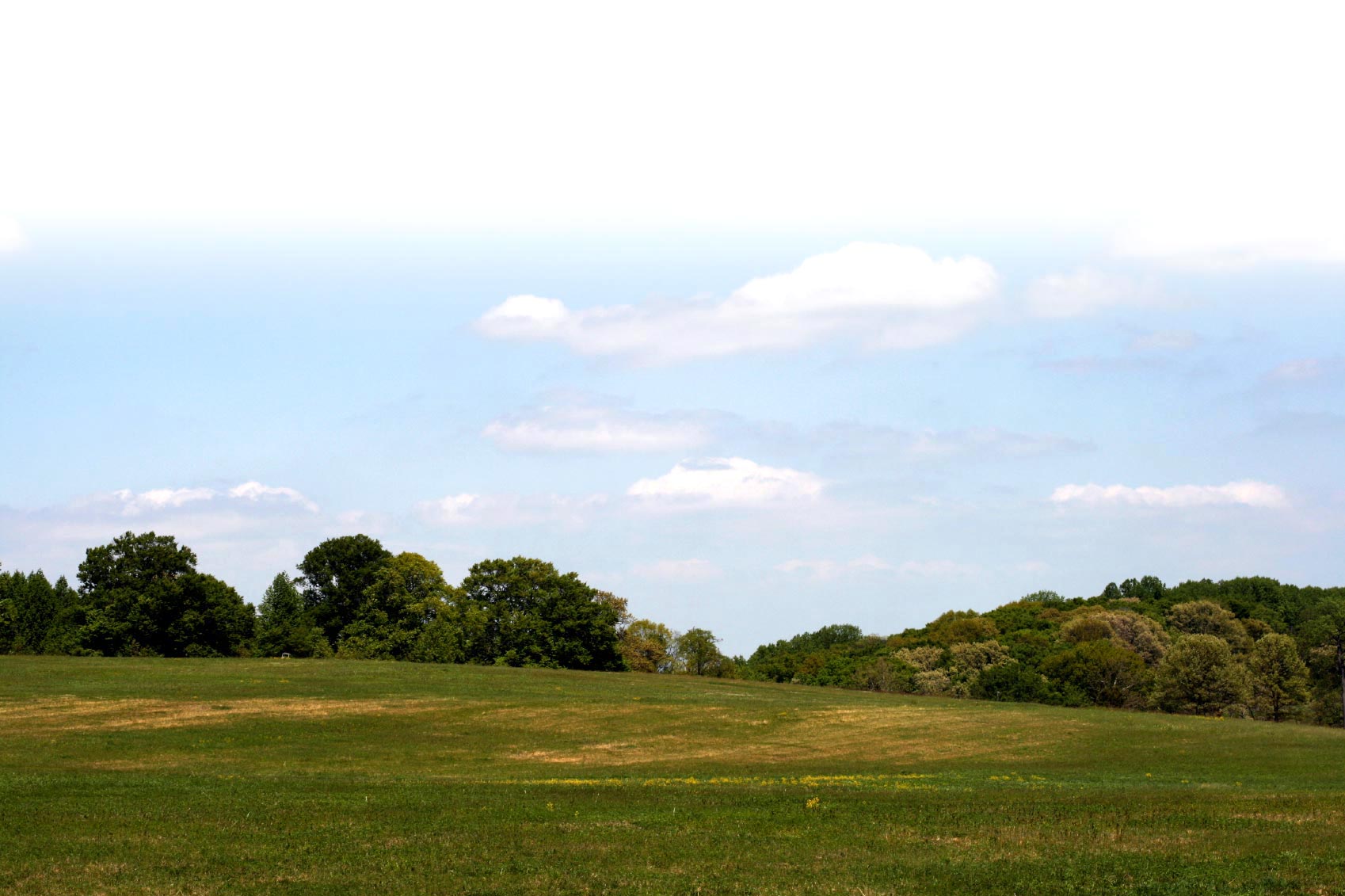
The Luckiamute Band of the Kalapuya Indians lived in the region surrounding Fort Hoskins Historic Park for many centuries prior to the migration of pioneers to Western Oregon. The ensuing potential for conflicts brought the United States military to establish Fort Hoskins in the 1860s, as part of a system of forts to monitor the newly created Indian reservation. Perched on a ridge overlooking the Luckiamute River, the view from Fort Hoskins Historic Park has changed little in the last 160 years. The Interpretive Loop Trail starts at the picnic shelter and takes the user through a series of interpretive stations describing the history of the area, life at the Fort and indigenous history. This pleasant loop walk can be enjoyed by users of all ages and is a wonderful way for multigenerational families to share and recall the area's historic legacy. If accessibility is an issue please contact the Benton County Natural Areas and Parks Department at 541-766-6871 to obtain the access code for the roadway gate which parallels the trail. This roadway leads to a lower level parking area providing close, level terrain access to the Fort parade grounds.
Trail description by: Benton County Natural Areas & Parks Department